There are many ways to experience Maggie’s Way Walkway, and who better than our Michael to travel as many as he could find and report back. Here’s how he got on.
The folks who live in the southwest Napier suburb of Taradale have an incredible backdrop of rolling green hills undulating up toward the western skyline. They are a lucky bunch too, as I recently went on a neighbourhood tramping mission to uncover the many trails in these gorgeous foothills which comprise a portion of the elaborate Rotary Pathway network that is called “Maggie’s Way” Walkway.
It came to my attention that the final piece of this network had been completed recently and it was about time I explored this unfamiliar patch in an area that I have visited on many occasions. So, I looked up “Maggie’s Way” on my mobile app, got the directions sorted on where to park my car, and away I went.
After a short drive, the friendly navigation voice told me I had arrived at my destination, but oddly, it didn’t appear I was in any sort of wilderness area. There were lots of homes, albeit very nice homes, all around, with a thin belt of green and a small paved space just off the road waiting for my SUV.
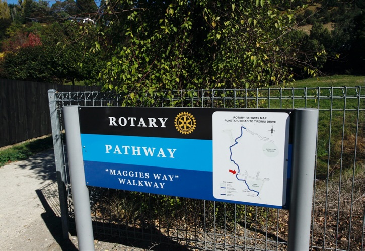
During my previous too-brief online research, I noticed this trail name had a few iterations, sometimes referred to as Maggies Way and other times as Maggie’s Way. Here where I parked, there were signs on both sides of Kent Terrace advertising the pathway known as “Maggies Way” Walkway, each pointing a different way. I was ready for all of them! Since my journey would inevitably take me in both directions at some point in the day, I chose to forgo the uphill trek and instead head east down the path into what looked like a neighbourhood stroll.
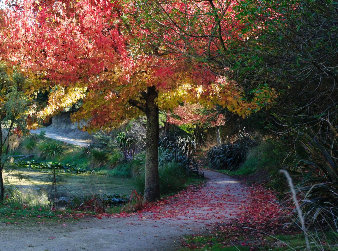
The Way is concrete and wide, and built to be used by all who like to walk, need to walk, have a dog and/or kids to walk or even have a necessary wheeled-type of ride. The flat trail wanders through a huge greenbelt, which is actually a low-water area situated to alleviate possible flooding and is now a lush sparkling meadow smack dab in the middle of a community of lovely homes.
The vista is vast, and the path is almost empty. After passing the old Taradale Cemetery (yes, old – it was consecrated in 1877), I quickly came to the end of this section of Maggies Way – but this is actually where it would begin if you started here on Puketapu Road!
I doubled back to Kent Terrace and started again, this time heading west up the hill. It was my understanding that the Maggies Way pathway that was recently completed connected to Ōtātara Pā, a magnificent and significant historical location on the south end of Taradale. I assumed this very tidy and newlooking trail was the latest incarnation and it would take me around the foothills to the south, past Dolbel Reserve and then over to the pā.
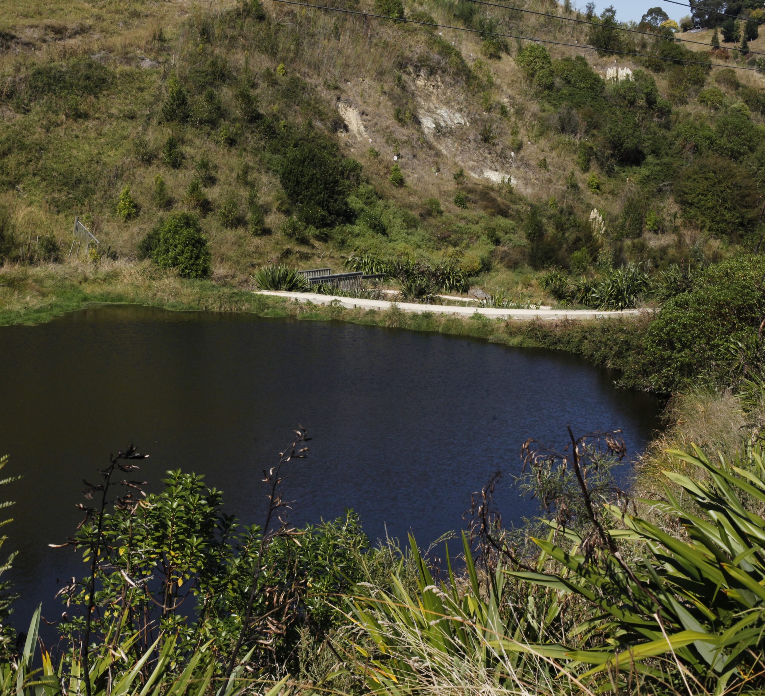
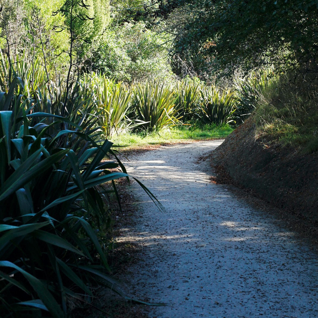
Boy, was I wrong – yet it was a fantastic mistake. This clean gravel trail wandered up the foothills, past ponds and recently planted thick native bush, with loads of foliage dramatically changing colour, beautifully embracing autumn.
There were a few directional choices I had to make on the way up and, with the absence of any wayfinding signage, I chose to veer left, knowing I should be heading south toward the pā. I first crested the top on one of these trails and ended up between a couple of homes on Tironui Drive, with no option but to turn around and explore another route. So down I went and off to the north and came across an amazing path of dozens of extremely well-constructed steps to get back to Tironui, only a bit further up the road.
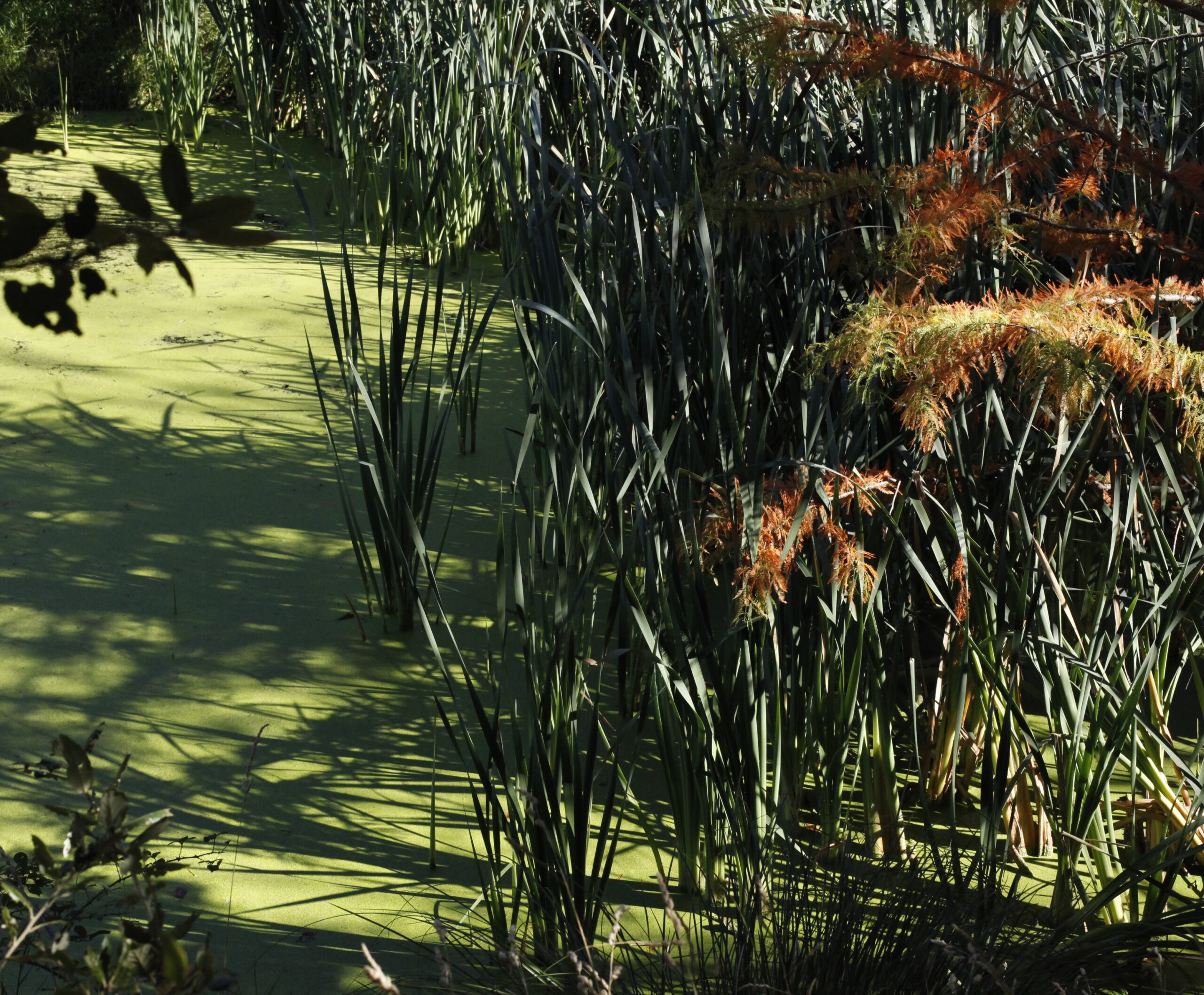
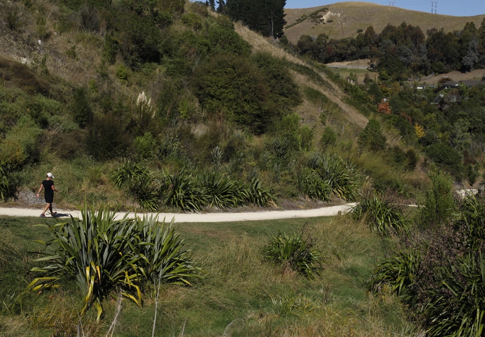
I could see now that this part of Maggie’s Way would not get me to Ōtātara Pā and that last piece of the Walkway was about to elude me on this day. Fortunately, the walk down back to my car was full of stunning views and my quest to find the rest of Maggie’s Way was simmering heartily.
To get a better understanding of this web of trails before I set out again, I had a chat with long-time Rotary Pathways trustee Ross Pinkham, who has been involved in the Maggie’s Way Walkway project for over a dozen years. He filled me in on some of the interesting history of the project, especially regarding a colourful local fellow named Basil, who bequeathed a seven-figure sum to the Trust several years ago. Basil, an avid bicycle rider, and his wife, Margaret, who loved to take walks, now have an incredible legacy in the form of a path that takes you up from the Ōtātara Pā down along Churchill Drive past Dolbel Reserve through Kent Terrace and up to Sugar Loaf Hill.
The making of this splendid pathway was, and is, a fantastic partnership between the Napier Rotary clubs and the city and regional councils. The volunteer Rotary members raised a chunk of the funding, but equally important they also provided the backs and muscle to plant the massive amount of native bush we trampers now get to enjoy.
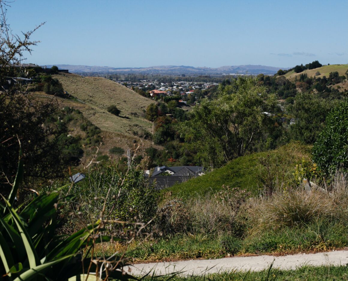
A couple of days later, I drove to Churchill Drive and came across another Maggie’s Way sign with an arrow pointing away from a gravel path leading into the nearby hills, which I recognised as Dolbel Reserve, and which instead pointed to a trek down a well-appointed houselined street. I marched along the slightly uphill nicely paved road and eventually arrived at the cul de sac end, and there I found the final piece of the “Maggie’s Way” Walkway.
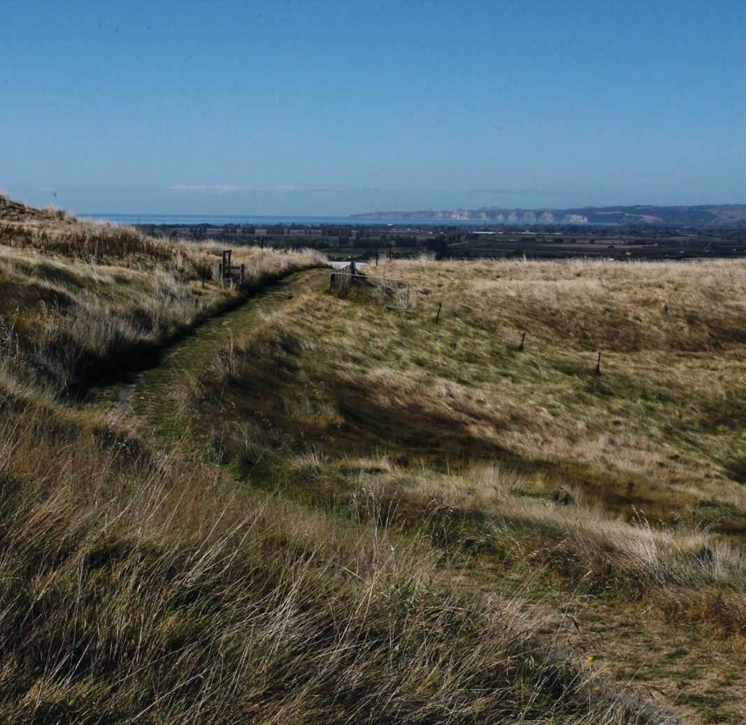
This path led me high into the hills overlooking the campus of Eastern Institute of Technology, better known as just EIT, which is the tertiary provider for Hawke’s Bay and the East Coast. This last hilly trail navigated through the Ōtātara Pā Historic Reserve, one of the most impressive defensive and settlement complexes in New Zealand.
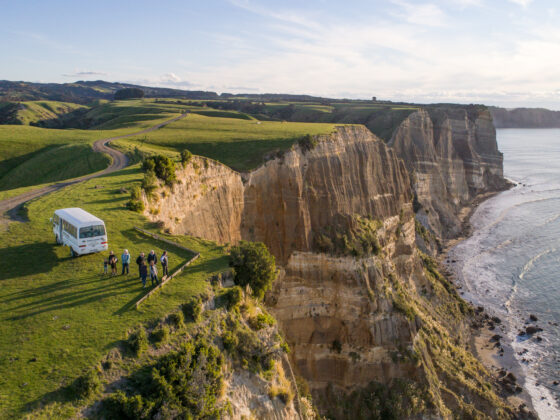
I climbed up ripply terrain through the brush on a path that certainly didn’t get the same use as the other portions of Maggie’s Way. Walking along the ridge above the pā was like being on the top of Hawke’s Bay, massive views in all directions – Cape Kidnappers, Mahia, Bluff Hill, maybe even Mt Ruapehu on the right day! Although a bit more rugged, it was very much well worth the extra energy to tramp around the wavy hills that lead to the pā’s magnificent archaeological features such as tūāpapa, whare and rua kūmara.
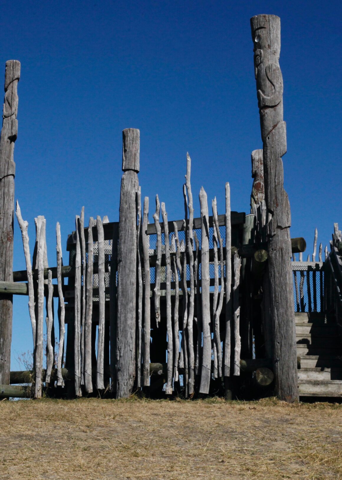
After descending the hill to the actual entrance of the Ōtātara Pā, I touched the carved waharoa (gateway) and felt a warm glow of accomplishment that I managed to experience the entire network of Maggie’s Way paths, which exist because of the marvellous and relentless efforts and dedication of a host of local volunteers, benefactors and government participation.

